Mount Timpanogos
Mount Timpanogos is one of the most prominent and recognizable mountains in Utah. At nearly 12,000 feet above sea level, it towers over 5,000 feet above the floor of Utah Valley, and is visible for miles around. Most of the mountain is protected under the Mount Timpanogos Wilderness which was established in 1984, preserving some of the most beautiful alpine vistas in the Wasatch Mountains. The mountain is bounded by American Fork Canyon in the North and by Provo Canyon in the South. Sundance Ski Resort is located on the southern end of the mountain, and the canyons are linked by the Alpine Loop Scenic Byway. The mountain was extensively glaciated during the last ice age, around 18,000 years ago, and is home to the only remaining glacier in the state of Utah. The mountain's name comes from a Native American word meaning "rock canyon." In March of 1955, a U.S. Air Force B-25 Bomber crashed near the north peak in a snowstorm. The mountain is home to abundant wildlife and diverse flora, due to its extreme changes in elevation. An incredibly popular hike, it is accessible from two trails, Aspen Grove and Timpooneke. Below are descriptions of both. The best season for hiking Timpanogos is early summer to fall depending on the snow. At its elevations snow can remain all year, usually in patches. It is dangerous to hike in the winter mainly due to high avalanche danger.
Timpooneke route
|
Location: Timpooneke Campground, American Fork Canyon
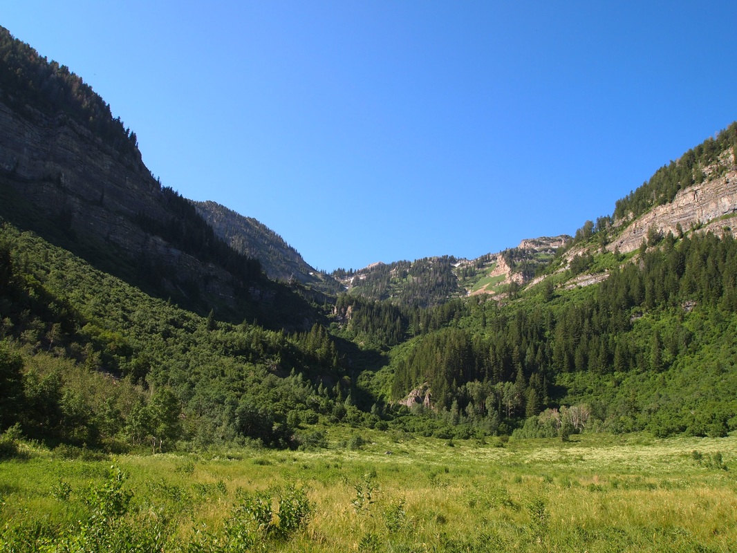
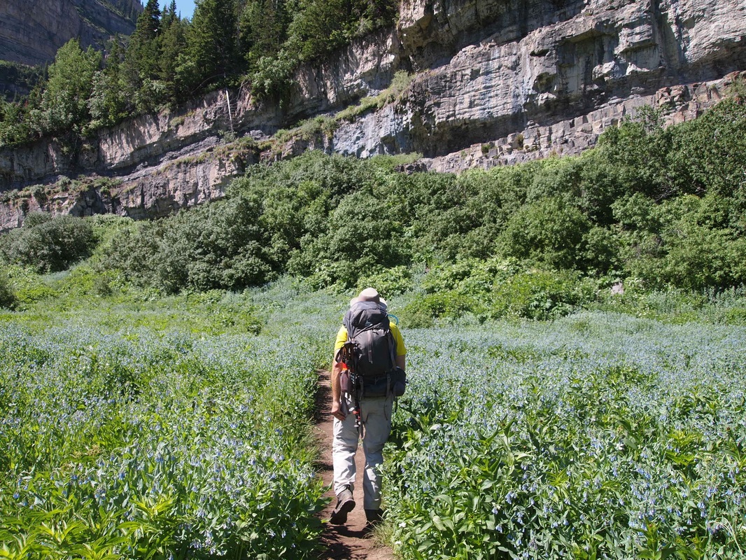
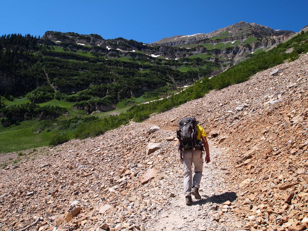
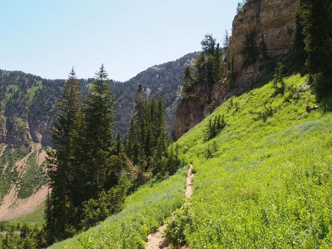
Duration: 8-10 hours Distance: 14 miles (out and back) Difficulty: Intermediate to Strenuous Trailhead Directions: From I-15 take the Timpanogos Highway exit 284 and follow SR-92 (Timpanogos Highway) east to American Fork Canyon. There is a fee station at the mouth of the canyon, and usually requires the typical forest service fee of $6 (which is good for 3 days). Once in the canyon follow the Alpine Loop road until you come to Timpooneke Campground on the right (left if coming from Sundance). The trailhead is located a little ways in the the campground. Description: Starting from the trailhead, the trail tracks due south through thick stands of quakies (Aspens). The trail climbs moderately for a few miles, and begins to switchback as you come into the first main terrace (this is a great place to see Mountain Bluebells and a moose if you are lucky!). A little ways into the the switchbacks you start to gain elevation quickly and there will come an optional turn off for Scout Falls which is a good short day hike. Here in the Montane zone, deciduous aspens mix with evergreens like Douglas Firs and White Firs, offering a very lush environment. It can tend to be very humid in this section in the summer though there is shade for the most part. After the switchbacks level out a little you come on to the second terrace, and here the trail begins to climb along the walls of the cirque, becoming more exposed following along a large talus field. This section is fairly long and is exposed (almost no trees at all). After the talus field crossing you come to the southern wall of the cirque and continues to follow it to the east. Switchbacks begin again, and there are some stream crossings. The trail becomes a mix of switchback and straight sections as you rise into the subalpine zone. Here deciduous trees disappear and the hillsides are dominated by Engelmann Spruces and Subalpine Firs as you push over 9,000 feet. You reach the upper Timpanogos Basin at around 5-6 miles from the trailhead, and at an altitude of over 10,000 feet. The numerous hanging valleys between he trailhead and the upper basin is known as the Giant Staircase. Here the Timpanogos Basin opens up in beautiful alpine splendor, full of grass, small lakes, and wildflowers. The main peak is visible directly to the south towering above the valley. Once in the valley you have a few options. You can summit by following the trail due south and linking up with the Aspen Grove trail. Summiting can be a little sketchy for those who hate heights and exposure (like me, as I much prefer the beautiful view from the valley ;)), but it is certainly doable. From when you reach the valley it is maybe another 1.5 miles to the top. Another option is to veer off to the right and go see the B-25 wreck near the north peak. This is maybe another mile or so of bush whacking, as there is no legitimate trail, and can be a little steep so watch your step. The plane crashed back in 1955 on its way to California in a bad spring snowstorm. All five crew members were killed. There is not much left of the plane due to exposure and to souvenir hunters, but the two engines have remained well intact. There is plenty of fuselage debris along the slope to the west (if you look closely there are scorch marks on some of the fuselage paneling from impact), hoses, among other pieces. The first engine is located on a terrace near the north peak at around 11,000 feet. The second is on the terrace above it. The small peak between the main summit and the north peak is known as Bomber Peak, and is around 11,300 feet. There is plenty to explore up in the valley, and after exploring or camping just return the way you came. Another option is to descend via Aspen Grove, as the mileage is the same and you can see Emerald Lake and Robert's Horn. You will need a ride if you do this, since it will be another 14 miles back to the Timpooneke Trailhead!! 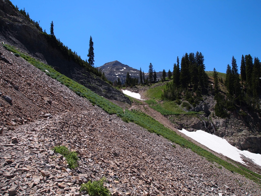
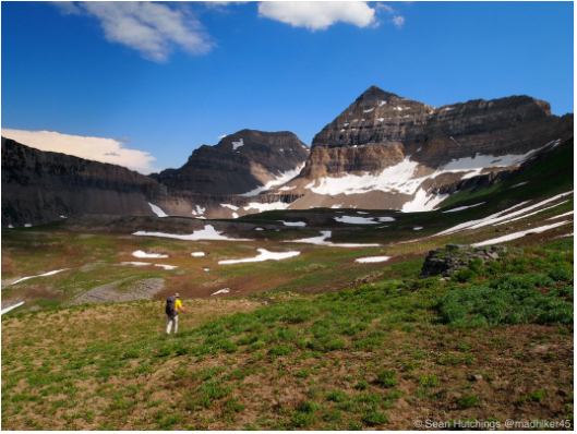
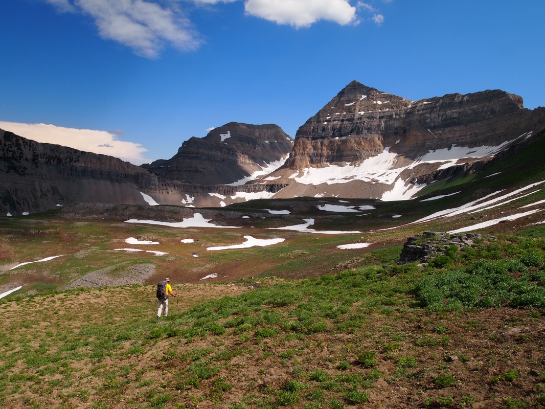
- Last push to the Basin! The Main Summit is visible in the distance.
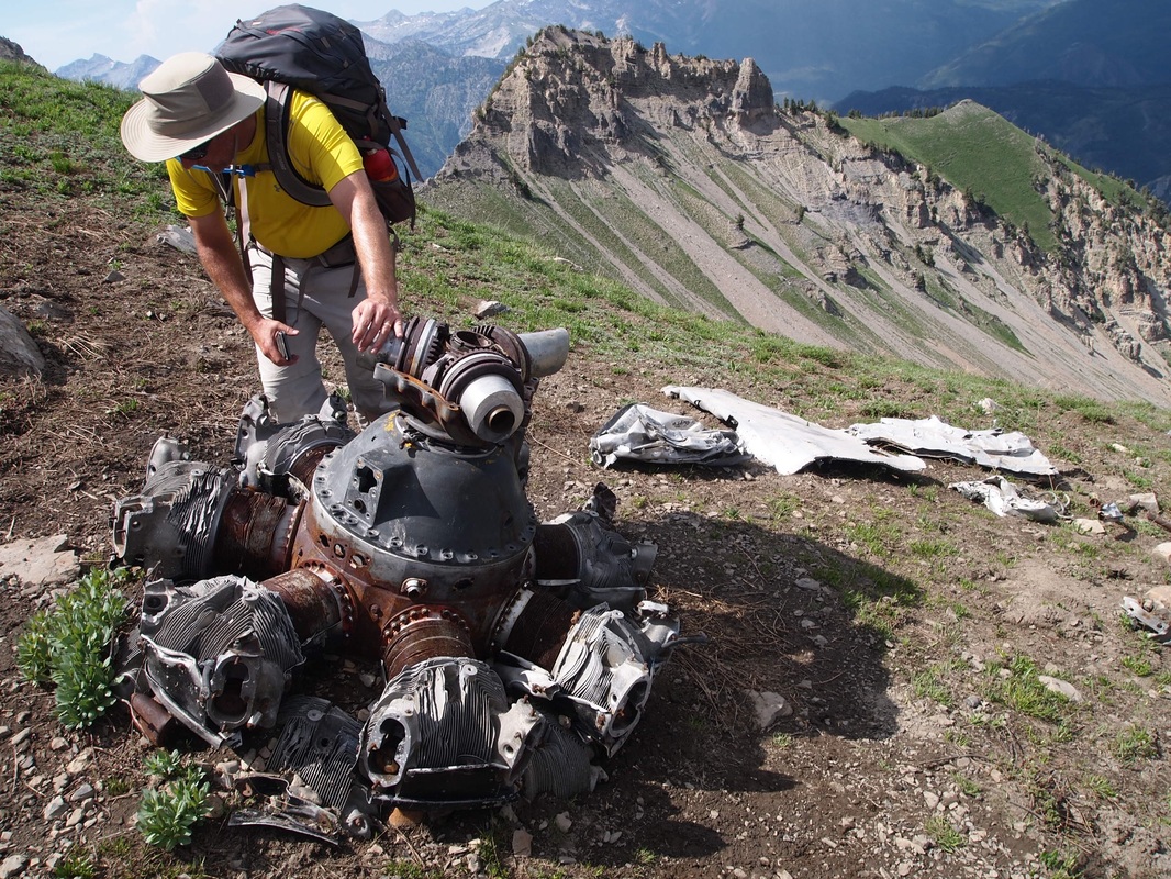
First of the 2 engines at the B-25 crash site. Other assorted debris can be seen. This picture is taken looking north, the main basin and summit are behind to the south.
|
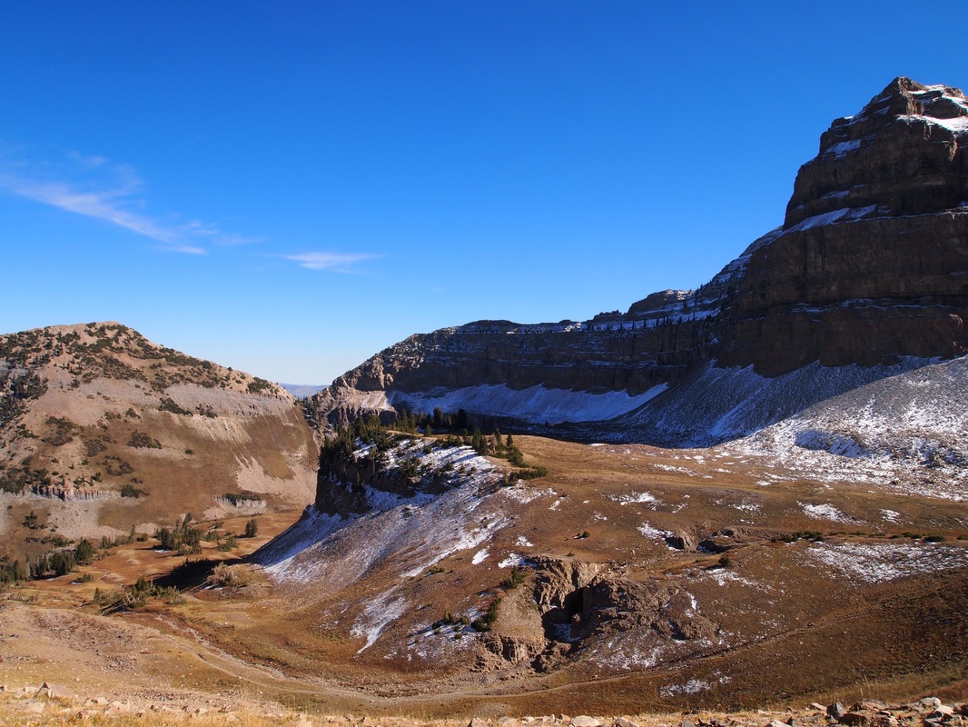
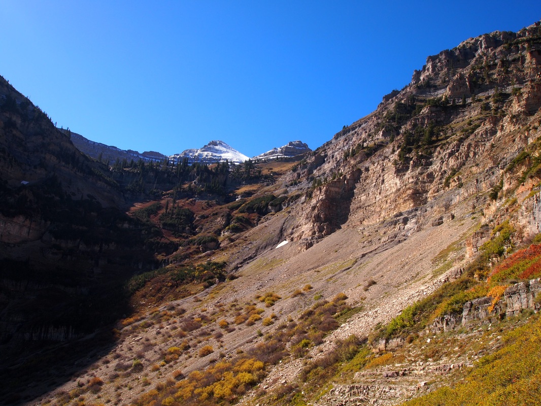
-Looking south toward the Giant Staircase and your destination!
- Looking North from the first terrace above Scout Falls.
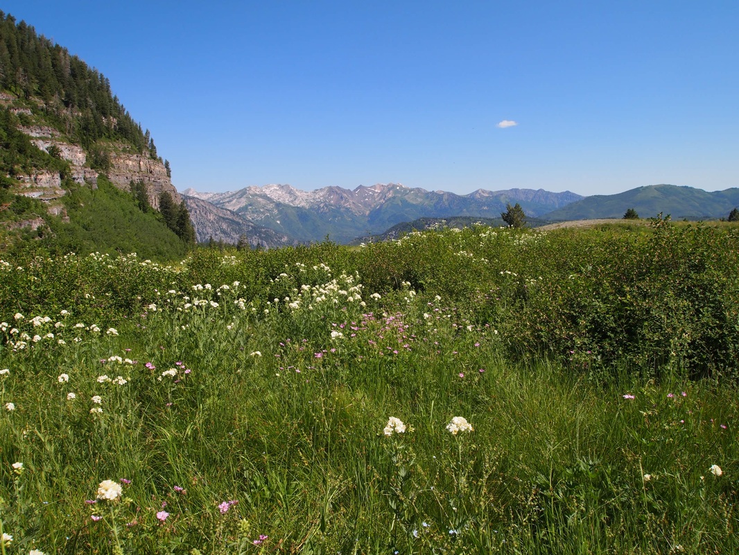
- Bluebells in the first terrace. The second terrace is ahead directly south.
- Traversing the talus field above the second terrace. Some of the upper peaked are beginning to show in the distance.
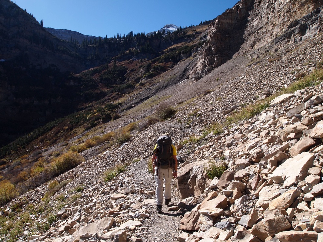
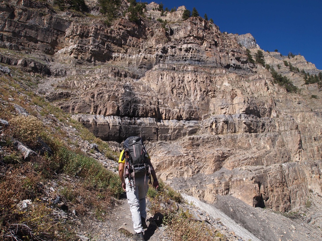
-Traversing the south wall of the main terrace. The basin is above and to the right of this picture's location
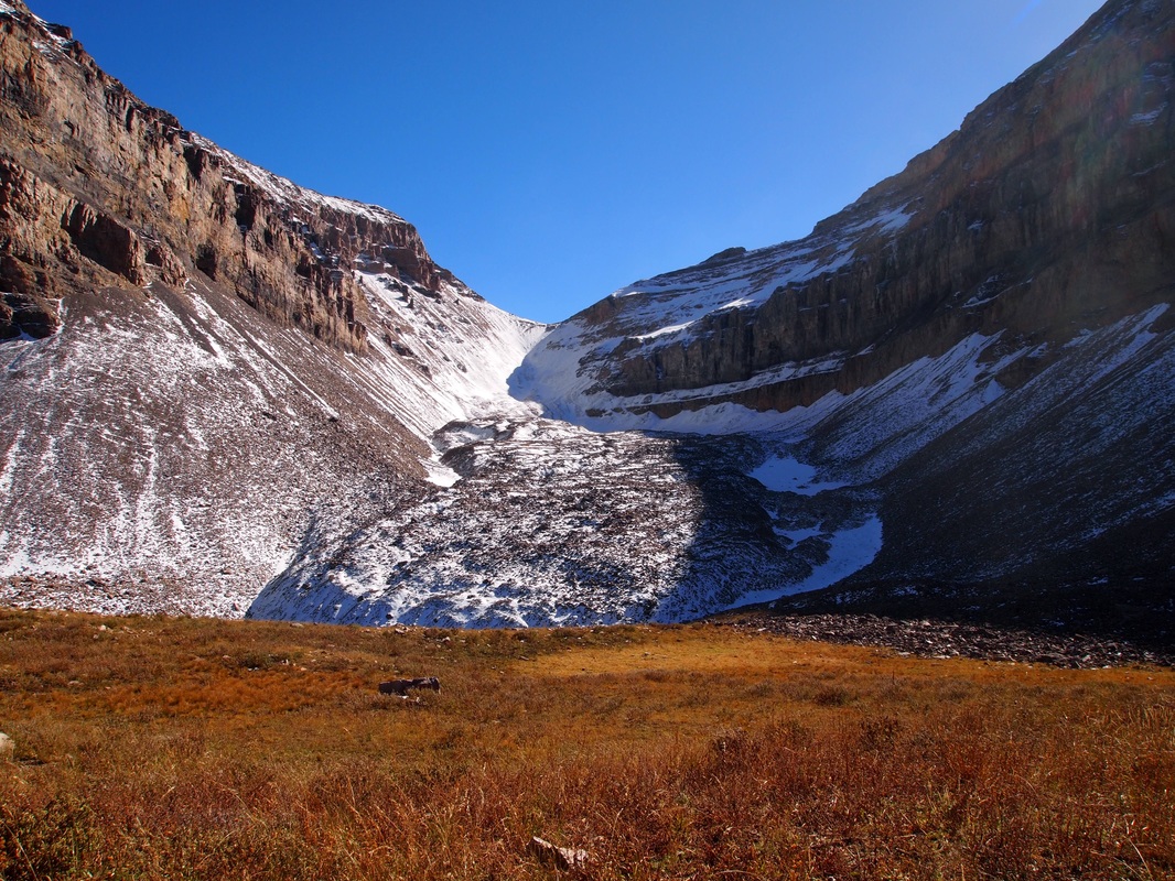
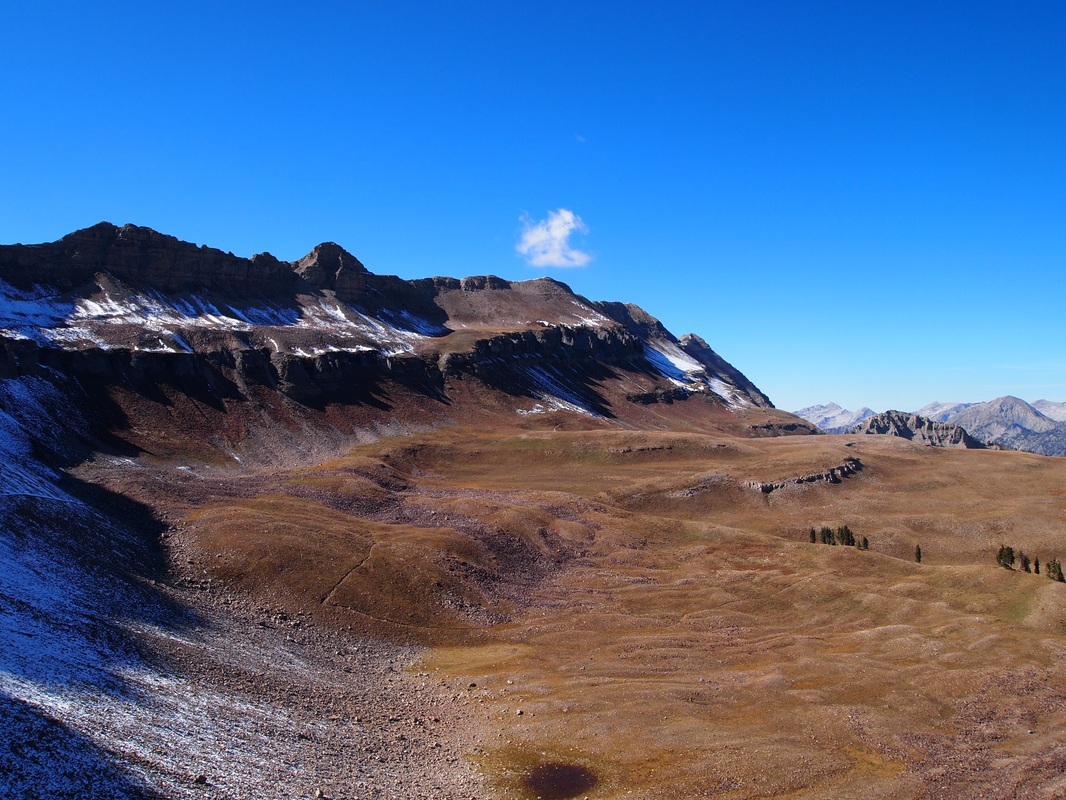
- The Timpanogos Basin looking south toward the main summit on the way back from the B-25 crash site.
|
Aspen Grove route
|
Trailhead: Aspen Grove Trailhead in Sundance Ski resort
Distance: 14 miles Difficulty: Strenuous Duration: 8-10 hours Directions: From I-15, take the 800 North exit in Orem, and follow 800 North due east until it links with U.S. 189 through Provo Canyon toward Heber. At the Sundance turn off (just after the tunnel) turn left toward Sundance Resort. Follow the road around the main resort toward where it becomes the Alpine Loop, and just beyond the forest service fee station is a parking lot on the left. The trail starts here. Description: The trail heads due west from the trailhead, toward the towering Primrose Cirque and Roberts Horn above. The trail starts fairly flat at first, and some is actually paved traversing through large stands of Aspens (hence the name). The paved part is slowly eroding, and is left over from when large groups were taken up before the area became wilderness. After you reach a nice waterfall the trail begins to climb using switchbacks, passing several other waterfalls and gaining elevation. After several long switchbacks the trail heads west toward the large talus field in the cirque. The trail crosses the talus field, and afterwards begins a series of difficult and grueling switchbacks climbing up the southern cliff wall of the cirque (this part is the worst!). The switchbacks are fairly exposed and there are some technical sections where special caution should be taken, and watch your footing! This section can easily take over an hour. Once the switchbacks are over you enter the beautiful upper Primrose Cirque, with the hidden lakes at its base to the south of the trail (only visible in the summer until they dry up). Here the trail tracks west again, following the path of the glacier, and and rises over a few till piles until you reach Emerald Lake at 10,500 feet. The lake is a glacial tarn, given its sharp blue color by the presence of fine sediments known as "rock flour." The last remaining glacier in Utah, small Timpanogos Glacier is the cause of it, and is the pile of snow buried under the talus. From Emerald Lake the trail continues to the Timpanogos Basin, and you can reach the summit from here. This route is definitely the hardest, but offers different views of the mountain that are certainly worth the work. Return the way you came. 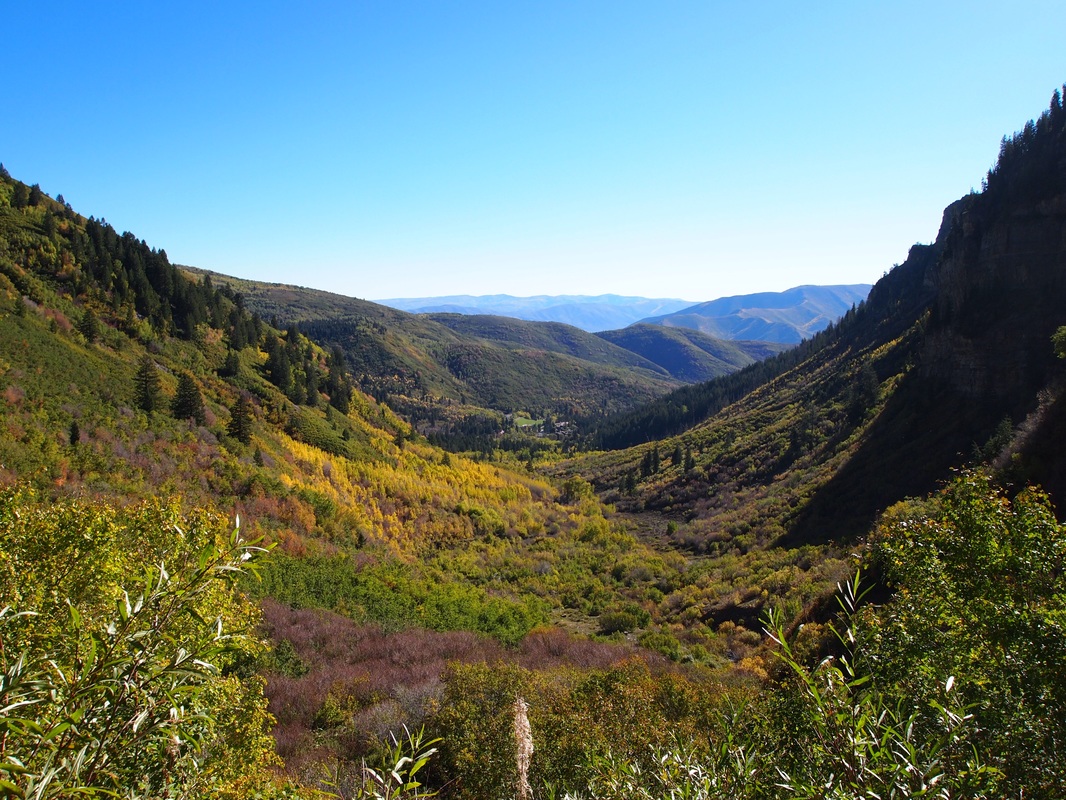
- Looking back toward Sundance Resort.
-Crossing the talus field.
-The Timpanogos Glacier. Emerald Lake is below.
-Primrose Cirque on the return.
|
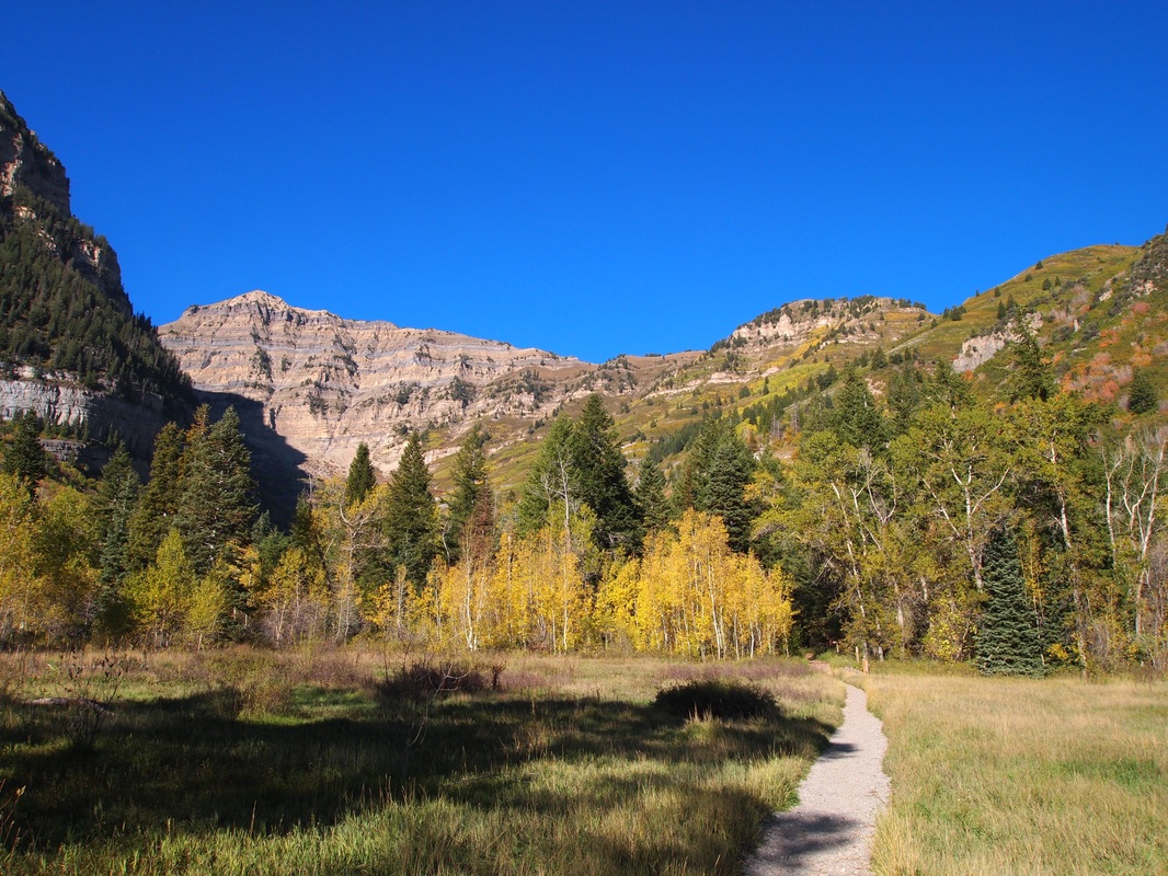
- Starting out. Primrose Cirque and Roberts Horn Visible.
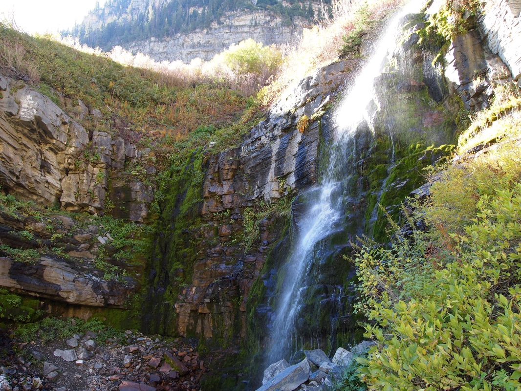
- One of several waterfalls on the trail.
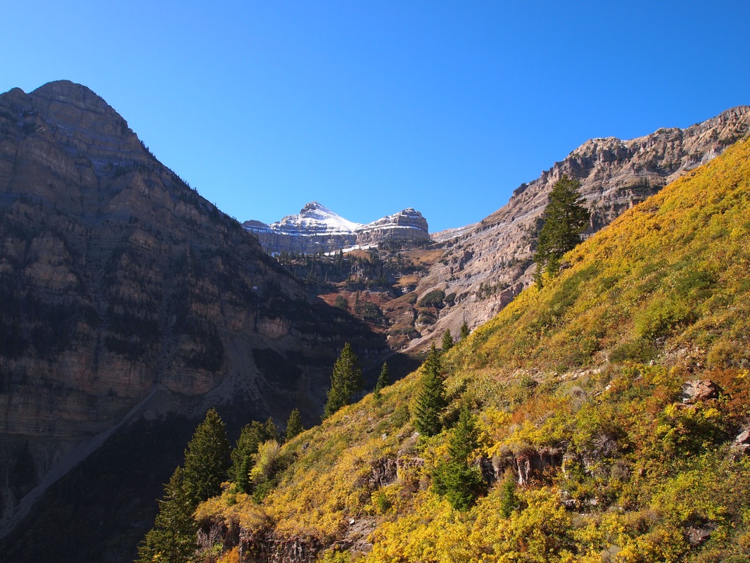
- Climbing now. Looking South toward the upper portion of Primrose Cirque.
Coming up on the talus field. Still climbing.
-Switchbacks begin. Hardest Part!
- Timpanogos Basin looking north toward Bomber Peak (the bump in the middle of the ridge).
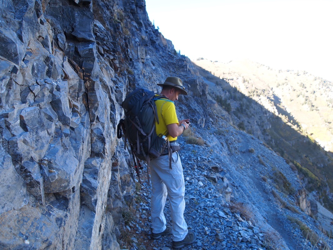
- Here is one more look at the trail! Watch your footing, especially on the way down and if there is ice from the seep springs all along the wall.
|
